“[if you are] going to have an industrial society you must have places that will look terrible. Other places you set aside—to say, ‘This is the way it was.’ ”
― John McPhee
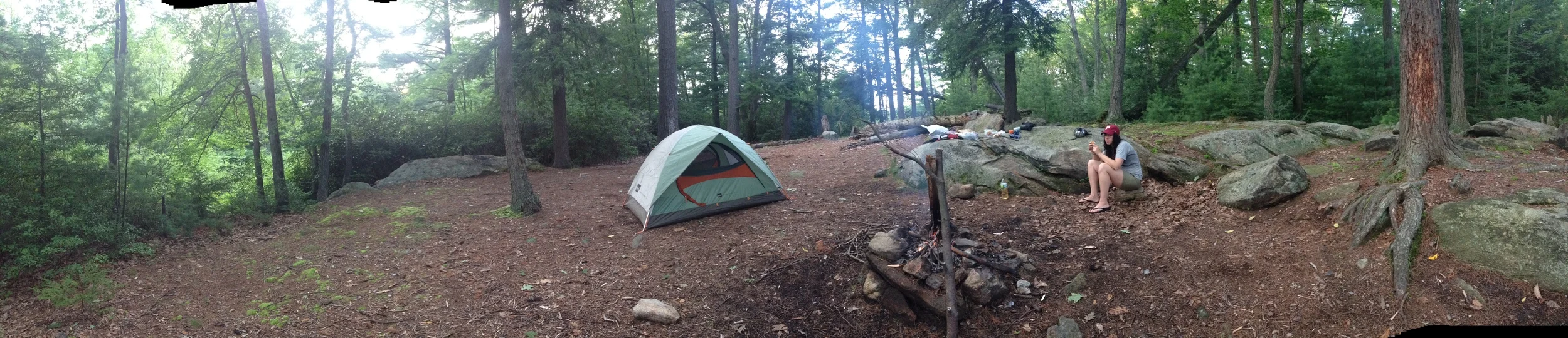
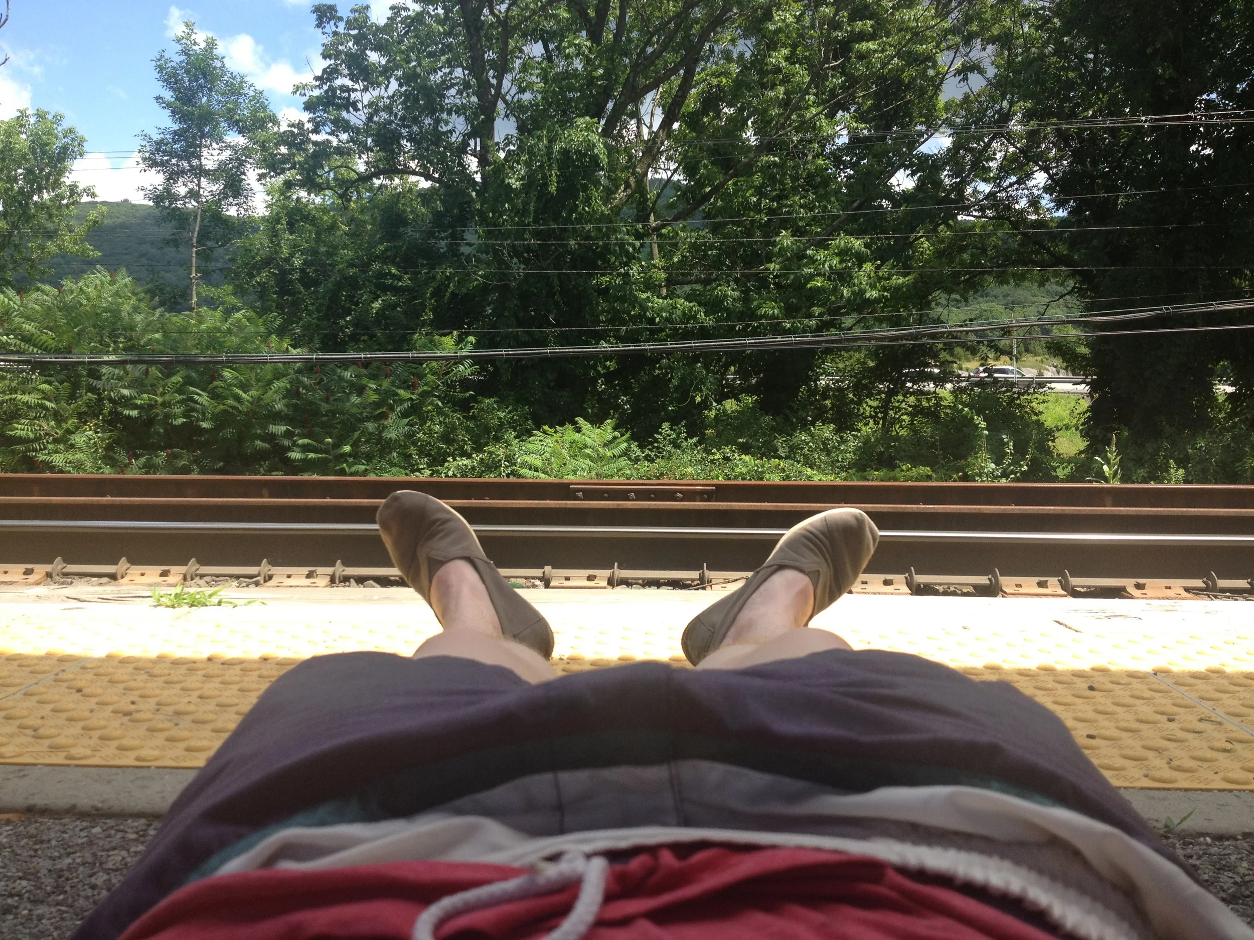
The great thing about living in Los Angeles is that you can jump in your car, and anywhere between 30 min and a couple of hours, you can be on a trail in a shrubby desert landscape, another planet essentially, hiking toward a secret swimming hole in Ojai or to the highest point in the continental US. Two years after moving to New York, I finally discover an easy way to escape from the overly oppressive urbanism of the 5 boroughs. After some research, Stacey (my partner) and I decide to fill our packs with gear, food, maps, and jump on a bus upstate to Harriman State Park.
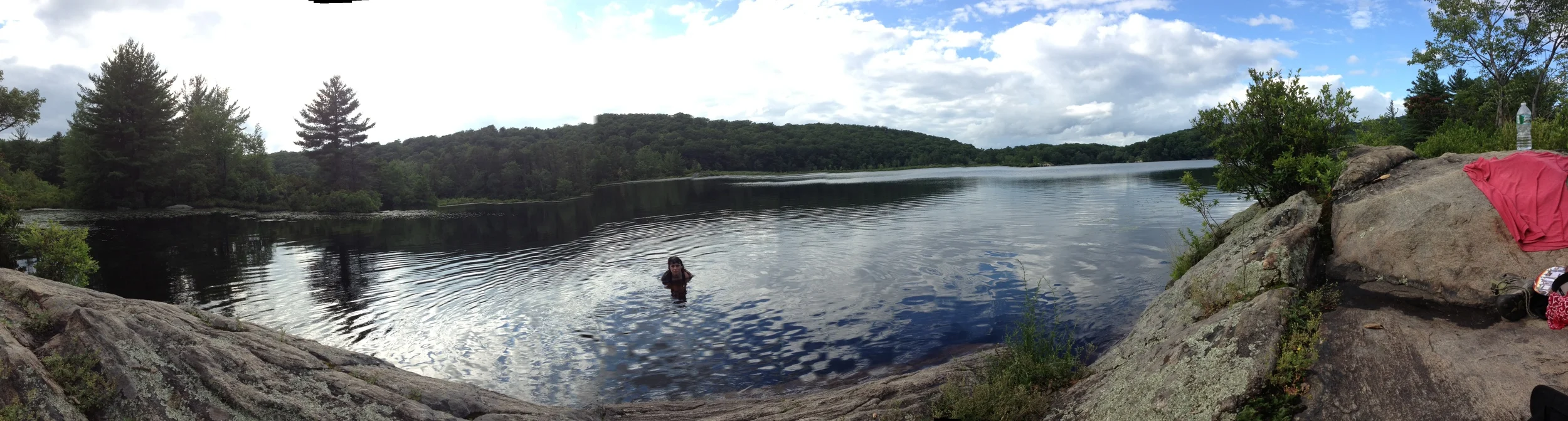
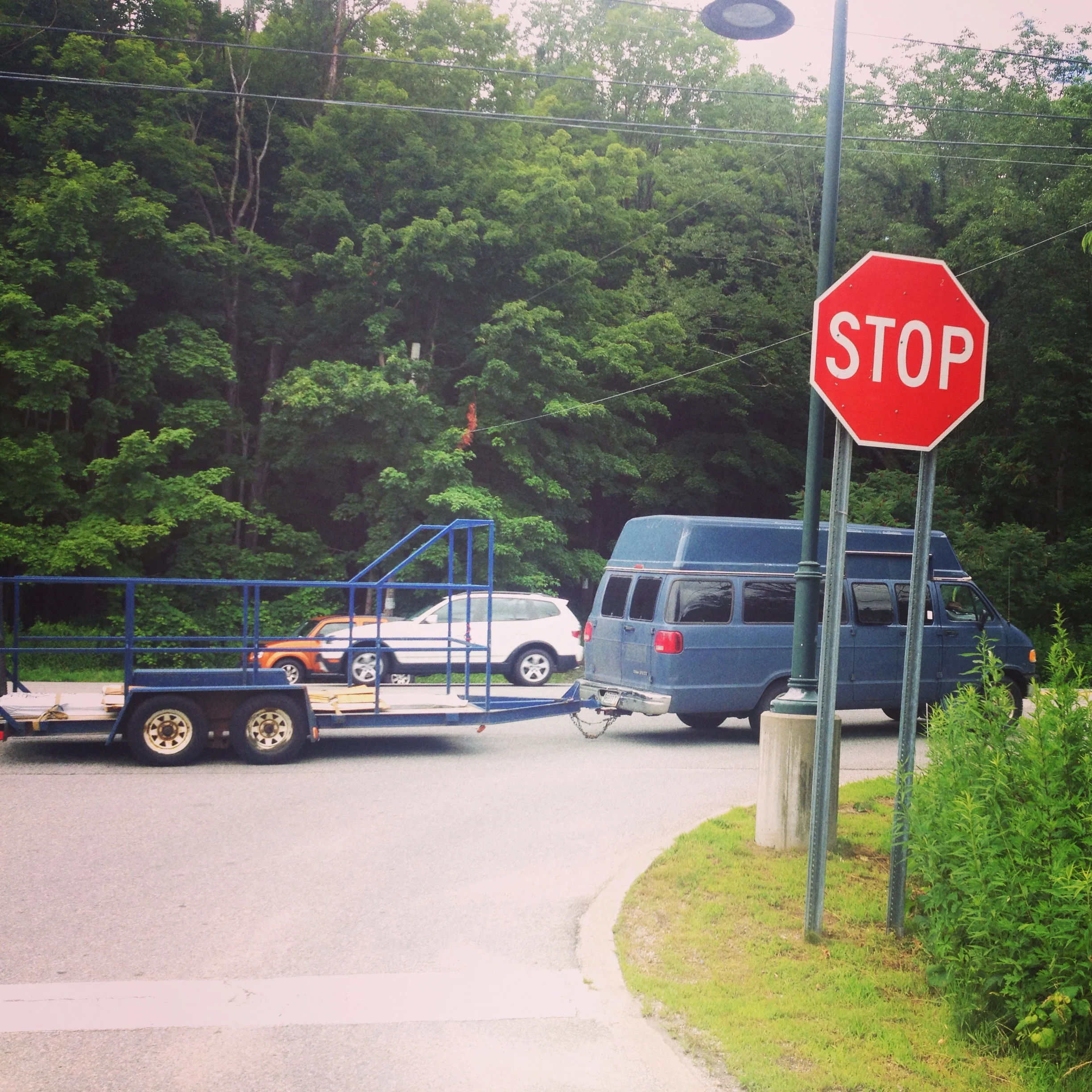
We took the Shortline bus from Port Authority toward Southfields. Directed by some blog posts I'd read, I asked the driver to let us off at Arden Valley road by the 'Welcome to Harriman State Park' sign. The bus took about 1 1/2 hours and the bus driver let us off just where we requested. We used Harriman-Bear Mountain 118 & 119 maps to find our way to the swimming hole - Island Pond.
Many of the local lakes are remnants of the last ice age approx 15,000 years ago. The retreating glaciers shaped the area's hydrology as well as the face of the landscape. The mountains of the east coast are unspeakably old. They were formed during the Ordovician (400+ MYA). These mountains have been ground down over millions of years, their particles carried by destructive forces (such as retreating glaciers) and turned into sediment, ultimately making their way to the bottom of the Atlantic. I like to remember that the seemingly immovable mountain is just on a different frame of reference than us. Unless something volcanic or tectonic stops the process, you can imagine it all as dust, underwater, waiting to be reborn in the tectonic escalator - utterly cosmic, happening over millions and millions of years. In the meantime, humans have exploited this area for one reason or the other. Stacey and I's intention being to escape the city heat and relax.
section of interest in map 119
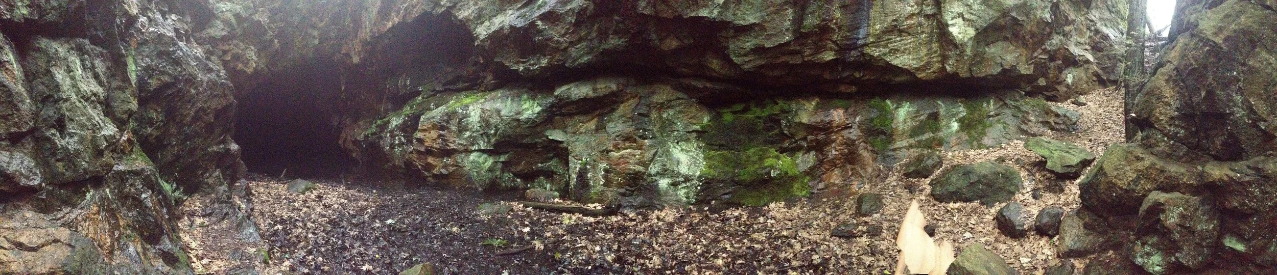
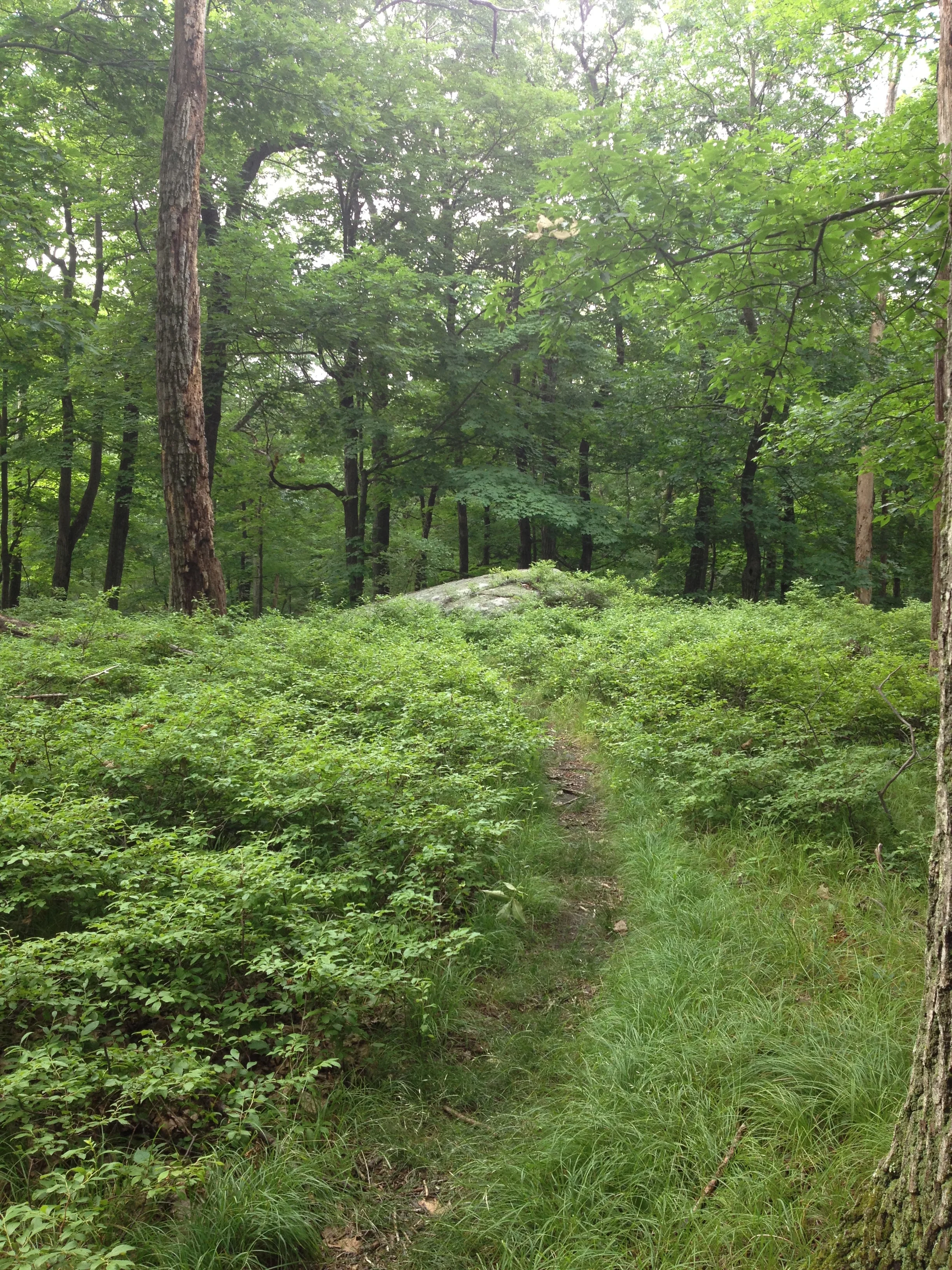
From the Parking area, we hiked the AT trail to Island Pond Road, turned left onto the Arden-Surebridge trail and left on Island Pond Road up to the lake. The trail dead ends at the lake, a beyond perfect spot for swimming. We had the lake to ourselves for the first day. The second day, we hiked the Arden Surebridge trail back to the parking lot, but after making a detour to the Boston Mine.
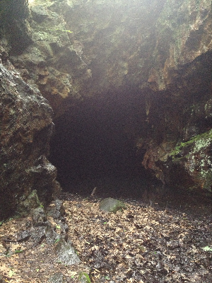
Boston Mine
Harriman is littered with old mines that date back from the 1700s. According to the USGS, the NY Highlands were responsible for up to 17% of the worlds Iron. The iron was smelted in local furnaces that were fueled (as charcoal) from the local forests (leaving the landscape barren). Fe3O4-magnetite, a highly magnetic iron ore, was the primary ore, but pyrite, biotite, and even nickel were mined from the area.
The water in Island Pond was discolored orange with (I assume) oxidation from the high iron content of the local geology. My first thought was that it was some aberration as the result of climate change and industrialization, but soon realized that it probably wasn't acid rain, rather something local to the geology.
The mining industry has taken a sort of dystopian turn over the last few years. Precious and of value metals have been accumulating through a different geological process - human industrial activity. Urban Mining, exactly what it sounds like, is becoming a viable economic venture. Instead of digging up forests upstate, prospectors are now looking underneath cities, on the sides of roads, and in landfills. There are are some obvious challenges as digging up city streets is disruptive and expensive but as with every industry, small steps forward are made everyday.
Hiking up to Island Pond was the perfect mix of weird industrial ghost town adventure and urban escapism. I expect to do a lot more bus trips, hitch hiking, and geologic contextualization.